A practical Canarias.app guide
14 things to see in El Hierro
Volcanic diving, clifftop viewpoints, junipers twisted by the wind, natural pools and a small island that rewards a car, a slow pace and respect for the land.
See tours & activities in El HierroWhat to see in El Hierro: the Mirador de La Peña, Charco Azul, El Sabinar and La Restinga distil the island in four stops: sweeping views over El Golfo, a volcanic bathe, juniper trees bent double by the wind and diving in the Mar de las Calmas. A handful of good targets beats an over-stuffed route every time.
How to explore it
What to see in El Hierro, area by area
El Hierro is the smallest of the seven historic Canary Islands, the most westerly, and one of the most generous to anyone willing to travel slowly. It doesn't have the sheer volume of things to do you'll find on Tenerife or Gran Canaria, but it does have a very clear sense of purpose: nature, diving in La Restinga, scenic clifftop roads, rock pools ruled by the sea and an identity rooted in sustainability. Come with a few worthwhile goals rather than a bloated checklist.
-
1
North · El Golfo
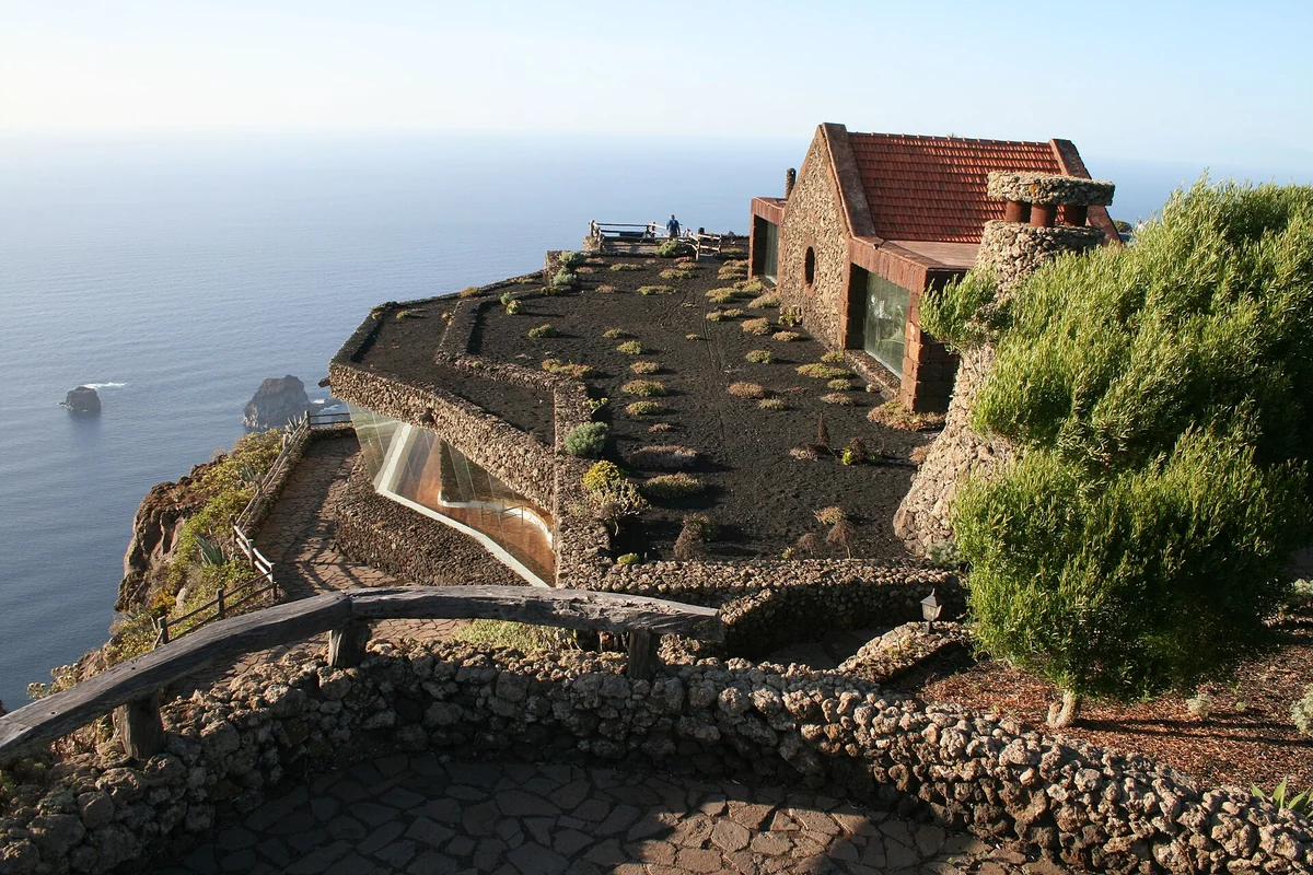
Mirador de La Peña, César Manrique facing the El Golfo valley

Foto: Casacanarias · CC BY-SA 4.0 · Wikimedia Commons The Mirador de La Peña is one of the finest ways into El Hierro. From Guarazoca the whole El Golfo valley falls into place at a glance: the vast escarpment, the farmed plain hugging the Atlantic and, far below, the Roques de Salmor. The building, designed by César Manrique, weaves together stone, planting and picture windows so that the architecture frames the view rather than competing with it.
Tip: Come with time on your side and clear skies. If low cloud rolls in, don't force the photo: reshuffle the day and return later. You can make out the Roques de Salmor from here, but don't turn the giant lizard into a promise of a sighting.
-
2
North · El Golfo
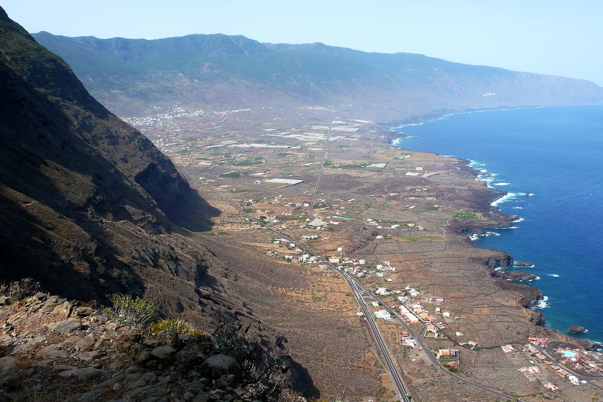
El Golfo, the island's great volcanic amphitheatre
Foto: Jose Mesa · CC BY 2.0 · Wikimedia Commons The El Golfo valley is an immense gash opening towards the Atlantic, formed by a giant landslide that explains much of El Hierro's geology. From viewpoints such as La Peña, Jinama or Bascos the scale reads more clearly: cliff wall, farmland, coast and sea all in a single sweep. This is the area that best explains why El Hierro is a UNESCO Global Geopark.
Tip: Check the state of the access roads before heading to Bascos, as it can be closed off by rockfalls. Even with the viewpoint shut, you can still read the valley from La Peña, Jinama or the Frontera road.
-
3
North · coast
Charco Azul, lava and a natural bathe in El Golfo
Foto: Bjoern.Hoernitz · CC BY-SA 3.0 · Wikimedia Commons Charco Azul is one of El Hierro's best-known natural pools. Ancient lava left a pocket of blue water beneath volcanic rock, with walkways and a sun terrace that ease access without erasing the sense of a wild place. On a short trip it works as the most obvious coastal stop on the Frontera and El Golfo route.
Tip: Don't take the swim for granted. In natural pools the sea calls the shots, however calm the day looks. Watch the swell, the signage and the tide; if the sea is rough, just go down to look and stay clear of exposed spots.
-
4
North · coast
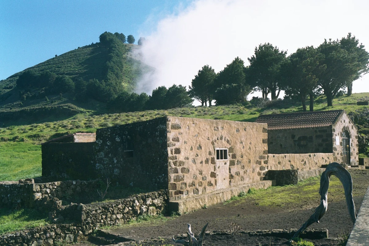
La Maceta and Pozo de las Calcosas, rock pools and coastal architecture
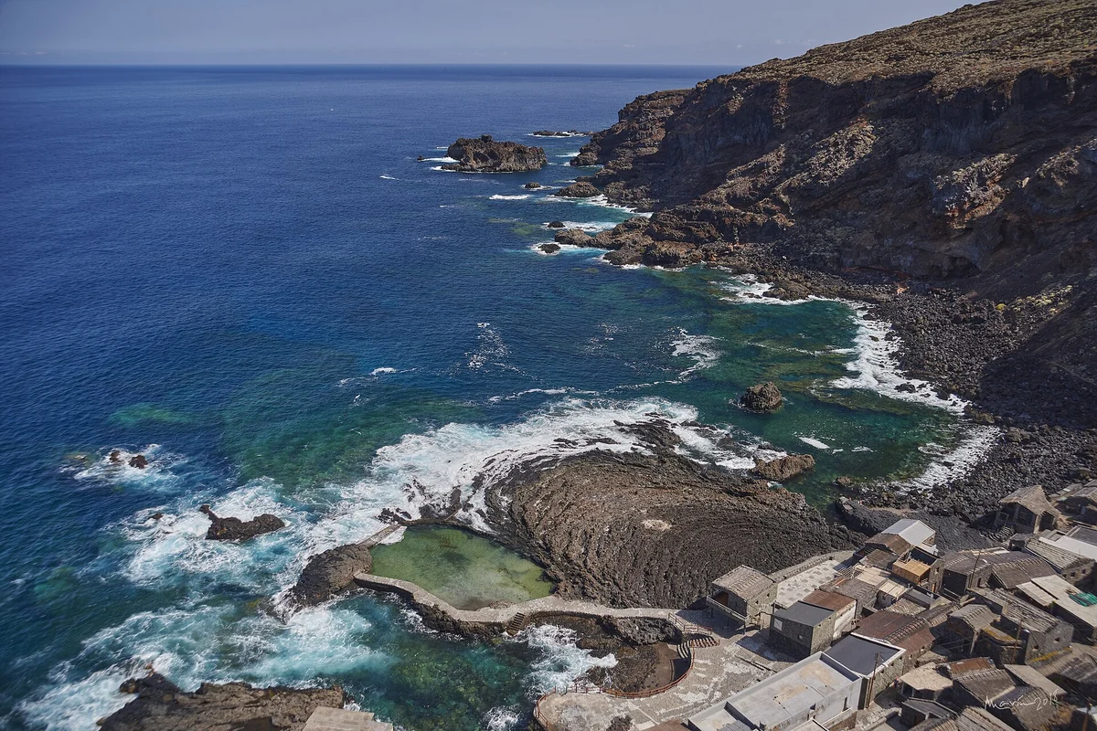
Foto: Fernando Marín Armas · CC BY-SA 2.0 · Wikimedia Commons La Maceta is the easiest bathing spot in the El Golfo valley: pools of various sizes, straightforward access and a landscape of sun, lava and sea. Pozo de las Calcosas, in the municipality of Valverde, shifts the mood entirely: a small bay at the foot of the cliff, traditional houses of volcanic stone with thatched roofs, and the feeling of a place where time has all but stopped.
Tip: La Maceta suits you better if you want an easy bathe; Pozo de las Calcosas if you fancy a walk and a slow look at the hamlet. In both, stay out of the water in a strong swell and don't go down heavily laden if you'll have steps to climb back up.
- Rent a car to explore El Hierro
-
5
West · La Dehesa
El Sabinar, the most quintessentially Herreño image of the wind
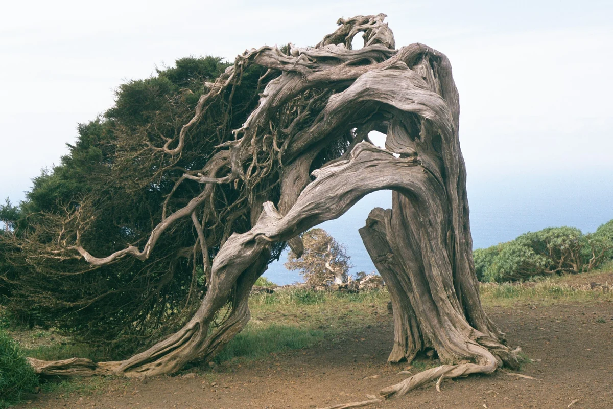
Foto: Eckhard Pecher · CC BY 2.5 · Wikimedia Commons El Sabinar is one of El Hierro's most recognisable scenes: junipers wrung out by the trade winds, trunks bowed almost to the ground and an open pastureland that seems to speak of endurance. The route usually takes in the surrounding La Dehesa and the Ermita de Nuestra Señora de los Reyes, deeply bound up with the island's identity.
Tip: Stay on the paths and don't chase the photo by touching or climbing on the junipers. Some areas are off-limits for conservation, and here the whole point of the place is not to force it.
-
6
West
Orchilla, the old prime meridian and the Atlantic's edge
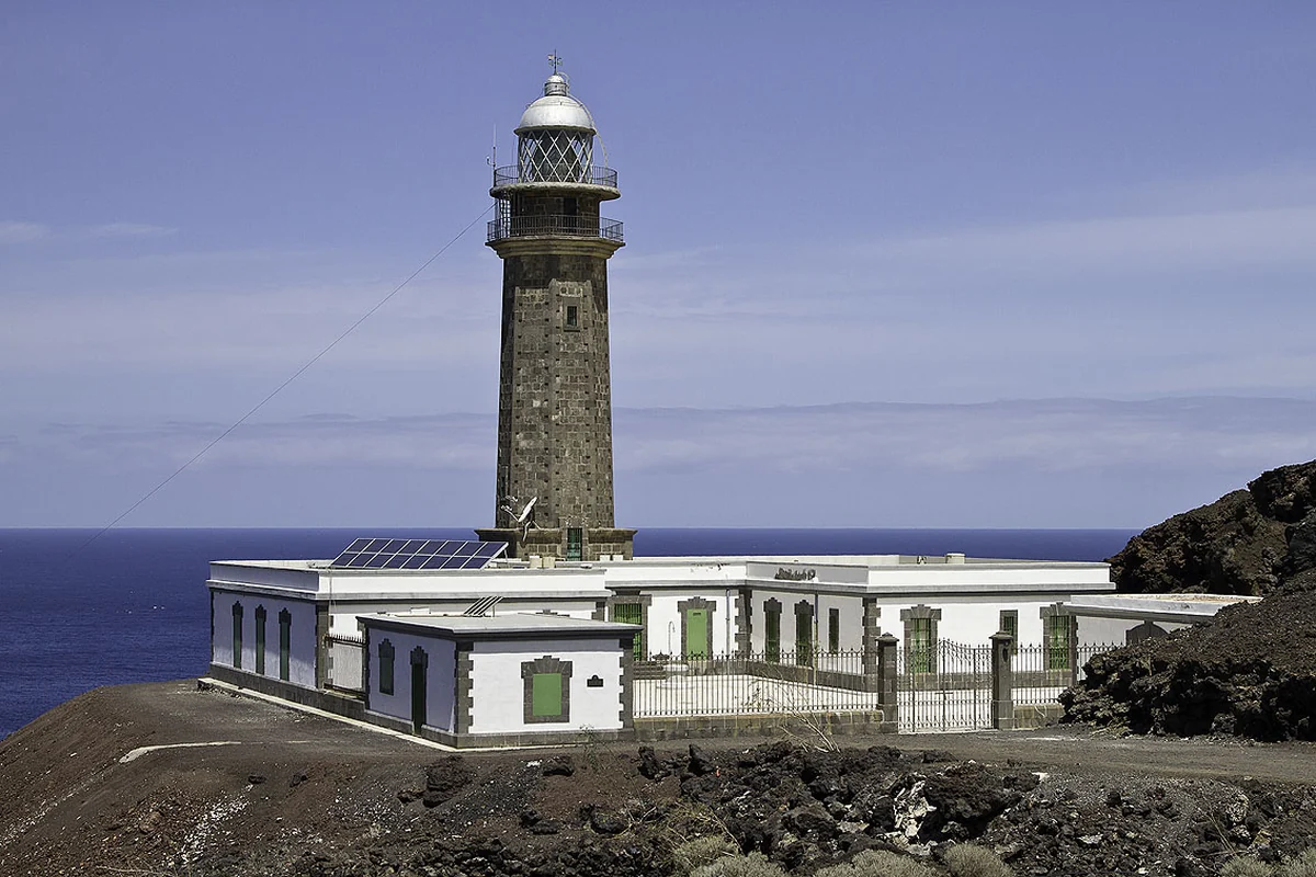
Foto: Hans Bezard · CC BY-SA 3.0 · Wikimedia Commons The Orchilla Lighthouse sits on a westerly headland with enormous symbolic weight. For centuries El Hierro was the meridian island: the western reference that appeared on European maps before Greenwich established itself as the prime meridian. Today the draw is the road, the solitude of the landscape, the sunset and the dark sky when conditions oblige.
Tip: Set off with fuel, water and daylight in hand. It's a remote corner, and arriving right on sunset without knowing the road back is a mistake. For the night sky, check cloud, moon and calima beforehand.
-
7
Interior · San Andrés
Garoé, the sacred tree of the Bimbache people
Foto: Alzur000 · CC BY-SA 3.0 es · Wikimedia Commons The Garoé tree distils something essential about Herreño culture: water, aboriginal memory and adaptation to a hard island. Tradition ties it to the Bimbaches and to the harvesting of horizontal rain. The present tree replaces the original, felled by a hurricane, and the interpretation centre helps you read the place without reducing it to legend.
Tip: Pair it with Valverde, San Andrés, Jinama or El Pinar. If you tackle part of the Ruta del Agua, bring your own footwear and water; don't treat the centre as a ten-minute stop with no context.
-
8
South · La Restinga
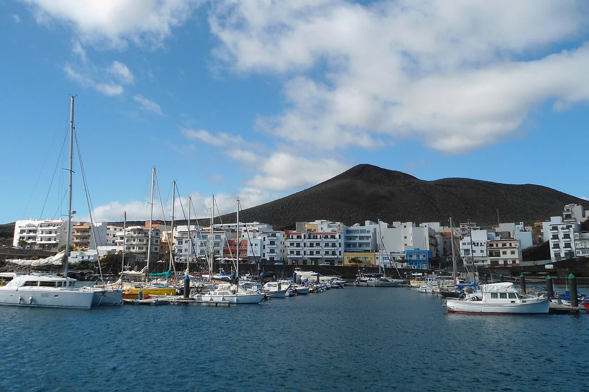
La Restinga, the diving capital of the Canaries
Foto: Rebexho · CC BY-SA 4.0 · Wikimedia Commons La Restinga is El Hierro's great call of the sea. The fishing village faces the Mar de las Calmas and a marine reserve created to protect the seabed, the wildlife and traditional ways of life. Its volcanic depths, the clarity of the water and the local diving culture have made this corner of the south a magnet for divers, underwater photographers and travellers who want to see the island from below.
Tip: Dive only with licensed centres and a responsible mindset: no touching the seabed or wildlife, no chasing animals, and don't go in if the centre calls it off for sea conditions or safety. If you don't dive, La Restinga still rewards a stroll, the harbour and an unhurried meal.
-
9
South · Mar de las Calmas
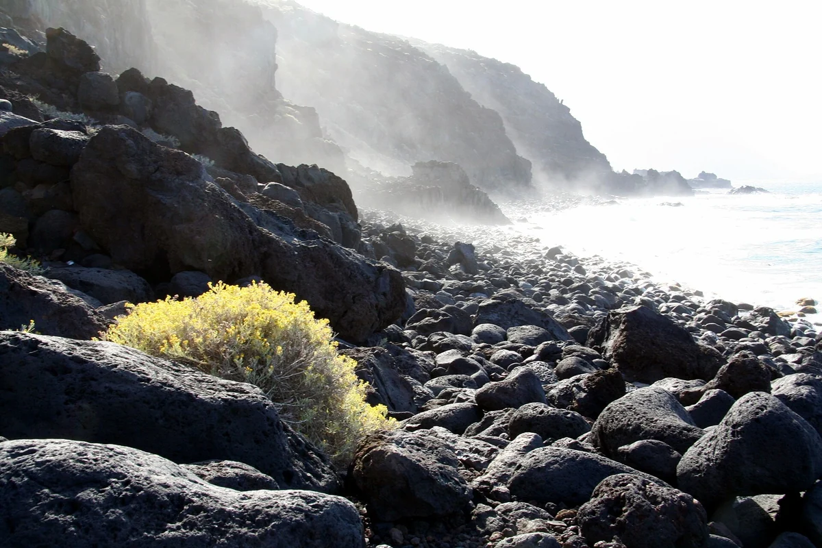
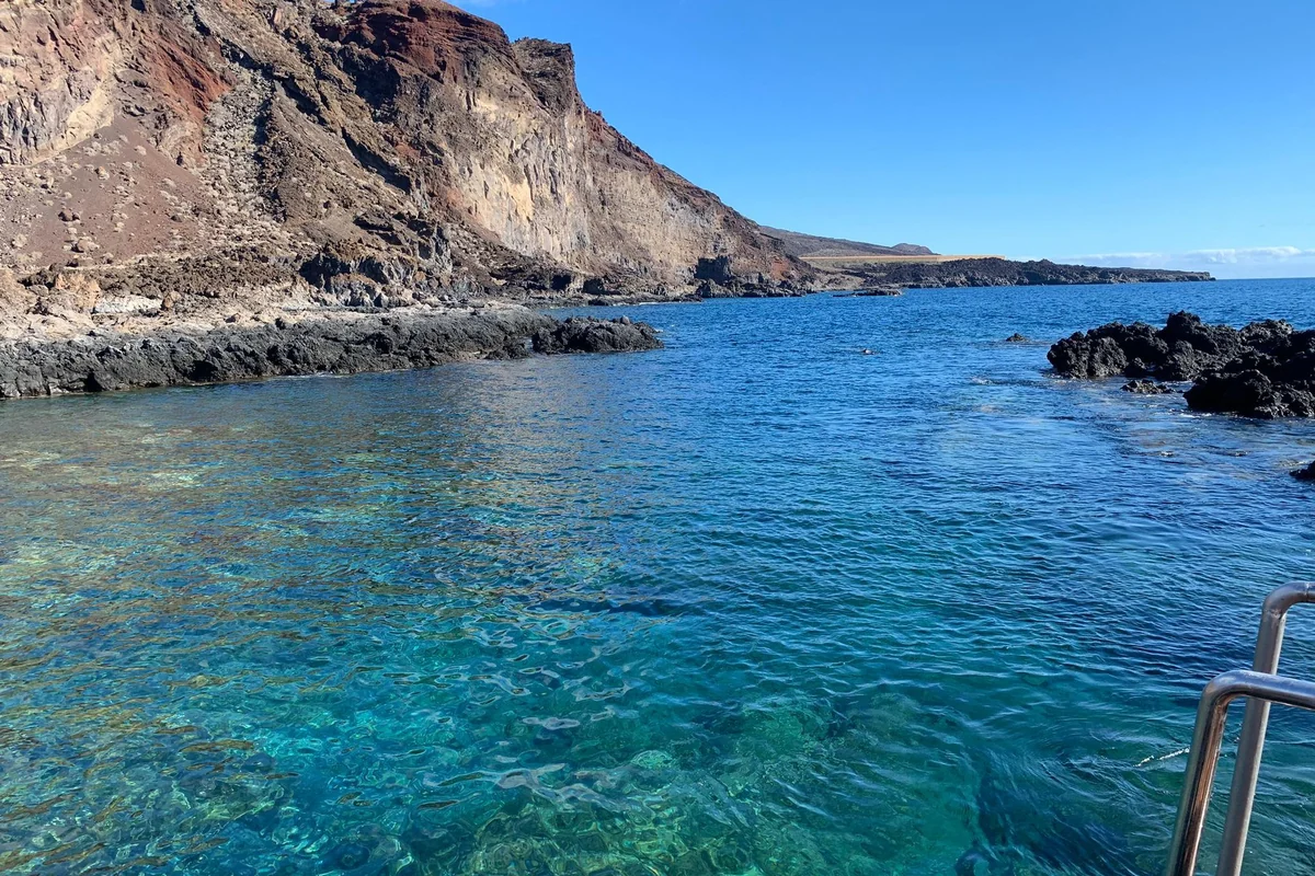
Tacorón, a sheltered bathe on the volcanic south coast
Foto: Irene perez02 · CC BY-SA 4.0 · Wikimedia Commons Tacorón is a small cove and bathing spot near La Restinga, closely tied to the Mar de las Calmas. Its appeal lies in the contrast of dark rock, ochre tones and still water when the sea behaves. It's a logical stop after La Restinga, El Pinar or the road towards Orchilla.
Tip: It works better as a coastal pause than a full beach day. Take what you need, respect the access points and don't mistake the Mar de las Calmas for a cast-iron guarantee: if the ocean is up, there's no negotiating.
-
10
Capital
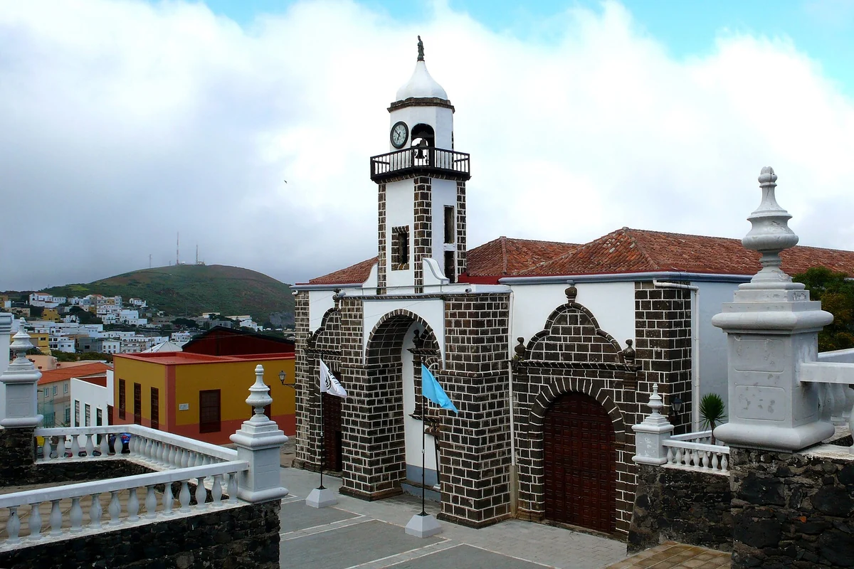
Valverde, the only inland capital in the Canaries
Foto: Mataparda · CC BY 3.0 · Wikimedia Commons Valverde is an oddity on the Canarian map: an island capital set inland, with no direct seafront. Its interest lies not in any grand monument but in grasping the everyday, administrative scale of El Hierro: church, town hall, quiet streets, services and a close relationship with the coast at Tamaduste, La Caleta and the airport.
Tip: Use it as a practical, cultural stop rather than a great tourist capital. It slots in well on arrival or before you leave, and lets you combine the old town, Garoé, Pozo de las Calcosas or Tamaduste without long detours.
-
11
Summit · El Golfo
Jinama, dropping into the El Golfo valley with your eyes
Foto: Wikimedia Commons · CC BY 2.5 · Wikimedia Commons The Mirador de Jinama sits in the central-eastern part of the island and opens up a commanding view over El Golfo. From here begins one of El Hierro's best-known traditional paths, the old Jinama trail, which links the summit with La Frontera through hillside, mist and Atlantic views.
Tip: Don't call a route easy just because it's a classic. Check the drop, the state of the path, the mist and the return. For many travellers the viewpoint and a short stretch are plenty, without putting the day's logistics at risk.
-
12
South · summit
El Pinar, the green south before the Mar de las Calmas
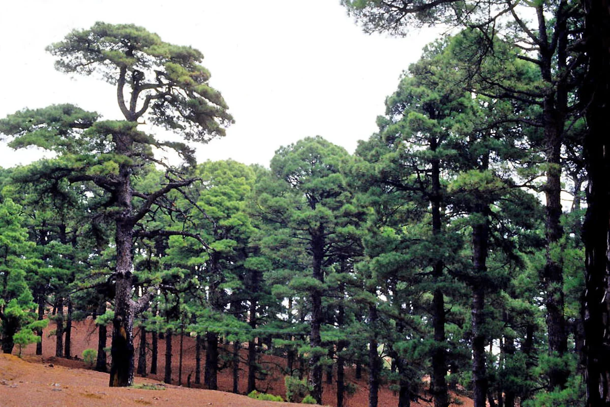
Foto: LBM1948 · CC BY-SA 4.0 · Wikimedia Commons El Pinar provides the transition between interior, forest and southern coast. Taibique and Las Casas keep a deeply Herreño rural rhythm; the pine woods and the Hoya del Morcillo area serve as a starting point for walks; and from several viewpoints you grasp why the relief shelters the Mar de las Calmas from the trade winds.
Tip: If you're on your way to La Restinga, don't drive through El Pinar without stopping. A short walk, a viewpoint or a pause in the village brings balance to a day that would otherwise lean too heavily on the coast.
-
13
Sustainability
Gorona del Viento, El Hierro's energy laboratory
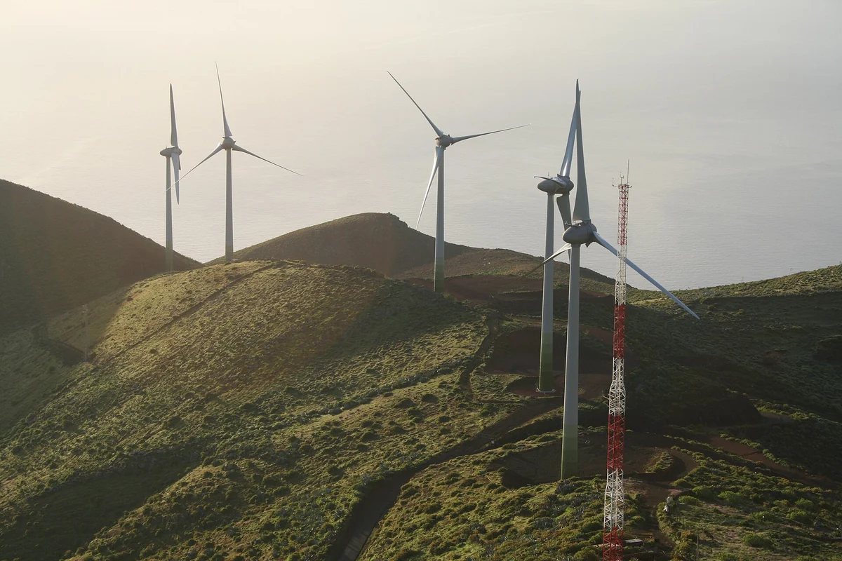
Foto: Casacanarias · CC BY-SA 4.0 · Wikimedia Commons El Hierro is a UNESCO Biosphere Reserve and Global Geopark, and Gorona del Viento is its best-known energy emblem. The wind-and-water power station combines the two to reduce reliance on fossil fuels and to push the island's ambition towards a renewable model. This is no ordinary attraction but a key piece in understanding the island's contemporary story.
Tip: If you want to visit the facilities or interpretation centres, confirm through official channels before setting off. For most travellers it's enough to read up on the context and take in the surroundings, without selling the island as permanently "100% renewable": the reality depends on conditions and operation.
-
14
Frontera · Salmor
Guinea and the giant lizard, the living memory of El Hierro
Foto: Alexander Geistlinger · CC BY-SA 4.0 · Wikimedia Commons The Guinea Ecomuseum and the Lagartario round out the natural and cultural reading of El Hierro. The El Hierro giant lizard, Gallotia simonyi, is an endangered endemic species; its story is bound to the cliffs, to Salmor and to recovery programmes. This is a visit to learn from, not one that promises encounters in the wild.
Tip: If you're travelling with children or want a pause for interpretation, this stop pairs nicely with El Golfo and La Peña. Speak of the lizard with respect: no handling wildlife, no going off in search of specimens and no feeding any animal.
Itinerary
El Hierro in 2-3 days
- Morning: the Mirador de La Peña to read the El Golfo valley, then down towards Frontera with a stop at Charco Azul or La Maceta depending on the sea and tide.
- Midday: an unhurried run through El Golfo, Pozo de la Salud or Pozo de las Calcosas if you want to add coastal scenery and a traditional hamlet.
- Afternoon: La Dehesa, El Sabinar, the Ermita de los Reyes and the Orchilla Lighthouse if you have enough daylight to get back without rushing.
Don't treat every rock pool as compulsory. Pick one or two depending on the state of the sea; if the west runs long, Orchilla can wait for the La Restinga day.
- Morning: Valverde and the area around Tamaduste or Pozo de las Calcosas, depending on whether you prefer the old town, the coast or a quick stop before heading inland.
- Midday: the Garoé tree and San Andrés, with the context of horizontal rain and the Ruta del Agua.
- Afternoon: the Mirador de Jinama, Hoya del Morcillo and El Pinar, without turning the summit road into a rapid string of stops.
El Hierro calls for a car. There's public transport, but for combining viewpoints, rock pools, summit and small villages in 2-3 days, having your own wheels changes the trip enormously.
- Morning: La Restinga and a dive, a taster dive or snorkelling if the conditions and the centre advise it; if you don't dive, a stroll round the harbour and coast.
- Midday: Tacorón for a bathe or a water's-edge viewpoint, always with an eye on the swell, then up to El Pinar for lunch or a rest.
- Afternoon: Gorona del Viento or an interpretation centre if you have a visit confirmed; alternatively, close the day at Orchilla if it didn't fit on day one.
With just 2 days, fold this block into a half-day: La Restinga plus Tacorón, and leave serious diving for a trip with more room. Diving shouldn't be squeezed in between haste and driving.
Activities
Things to do in El Hierro
Beyond what to see in El Hierro under your own steam, the island works best with a few well-chosen activities. Diving in La Restinga, the El Golfo viewpoints, Orchilla, El Sabinar and Garoé all fall into place far more easily with your own transport.
Diving or snorkelling in La Restinga and the Mar de las Calmas
For travellers drawn to El Hierro by its marine nature, its volcanic depths and an experience more rewarding than a generic beach excursion. Choose licensed centres, check your level, insurance and the sea report, and respect the rules of the marine reserve: no touching the seabed or wildlife, no feeding the animals and no promises of particular species.
Walking in Jinama, El Sabinar or El Golfo
For anyone who wants to understand the island on foot, among escarpments, laurel forest, pine woods, junipers and traditional paths. Pick the route by the real elevation gain, the mist, the wind and the way back: on El Hierro many trails look short on the map but combine gradient, summit and the logistics of where you left the car.
A driving route through viewpoints and villages
For seeing the Mirador de La Peña, Jinama, Valverde, Garoé, El Pinar, El Sabinar, Orchilla and La Restinga without relying on limited connections. Group by area and avoid needless back-and-forth: the island is small, but the roads and the changes in altitude stretch the time. The car fleet may be smaller, so it pays to book ahead.
Rock pools, coves and volcanic coast
For alternating viewpoints and driving with a bathe: Charco Azul, La Maceta, Tacorón, Tamaduste or Pozo de las Calcosas to suit the route. Safety doesn't hinge on how famous the pool is: watch the sea, tide, wind and signage, and if there's a swell, the best call is to look from a safe spot.
Sustainability, Garoé and Gorona del Viento
For travellers interested in the Biosphere Reserve, the UNESCO Geopark, water, renewable energy and an island that has made sustainability part of its identity. It's worth explaining the wind-and-water system and checking visits or official centres, without selling Gorona as a guaranteed visit or as complete self-sufficiency all year round.
Loading tours & activities in El Hierro…
FAQ
FAQs about what to see in El Hierro
What is there to see in El Hierro?
The essentials are to combine El Golfo and the Mirador de La Peña, Charco Azul, La Maceta or Pozo de las Calcosas, El Sabinar and La Dehesa, the Orchilla Lighthouse, the Garoé tree, Valverde, the Mirador de Jinama, El Pinar, La Restinga, the Mar de las Calmas, Tacorón, Gorona del Viento and the Guinea Ecomuseum with the Lagartario.
What is there to do in El Hierro?
The best things to do in El Hierro are diving or snorkelling in La Restinga and the Mar de las Calmas, touring the viewpoints by car, walking trails such as Jinama or parts of El Sabinar, bathing in natural pools when the sea allows, and visiting places tied to sustainability and culture such as Garoé, Gorona del Viento or the Lagartario.
Is El Hierro worth visiting?
Yes, if you're after nature, diving, walking, silence, scenic clifftop roads and a less crowded island. It's not the best choice if you want big resorts, nightlife or a diary full of theme parks and tours. El Hierro is worth it when the trip can accept a slower pace.
How many days do you need to see El Hierro?
With 2 days you can manage a basic route: El Golfo, the Mirador de La Peña, the rock pools, El Sabinar, Valverde, Garoé and La Restinga. With 3 days the island opens up far more, as you can add diving or snorkelling, Orchilla, Jinama, El Pinar and an interpretation centre or two without rushing.
How do you get to El Hierro?
You arrive by air at El Hierro Airport (VDE), with inter-island routes from Tenerife North-Ciudad de La Laguna and Gran Canaria subject to the airlines' current schedules, or by ferry to the port of La Estaca. For the full journey from mainland Spain or Europe, you normally have to connect via another Canary island.
Can you dive in El Hierro and La Restinga?
Yes. La Restinga and the Punta de La Restinga-Mar de las Calmas Marine Reserve are among the great diving draws of the Canaries. It's worth booking with licensed centres, choosing dives to match your level and following the rules of responsible diving: no touching the seabed or wildlife, no feeding animals and accepting cancellations on safety grounds.
What to do in El Hierro
The best things to do in El Hierro are diving in La Restinga and the Mar de las Calmas Marine Reserve, visiting La Peña Viewpoint and El Golfo, swimming carefully in natural pools such as Charco Azul or La Maceta, driving to El Sabinar and Orchilla Lighthouse, walking marked trails such as Jinama, and learning about Garoé, Gorona del Viento and the giant lizard conservation work.
Keep planning
More for your trip to El Hierro
Other islands