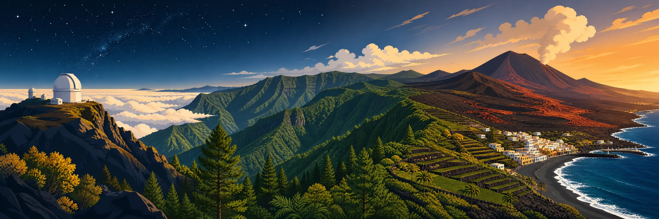
A practical Canarias.app guide
14 places to see on La Palma
Peaks above the clouds, caldera trails, recent volcanoes, laurel forest and Atlantic villages: the Isla Bonita rewards those who don't rush.
See tours & activities in La PalmaWhat to see on La Palma: Roque de los Muchachos, the Caldera de Taburiente, Los Tilos and Fuencaliente reveal the vertical island — high-altitude astronomy, deep ravines, laurel forest and recent volcanoes meeting the sea. It is a place to drive at an unhurried pace, alternating viewpoints, footpaths and black-sand coast.
How to explore it
What to see in La Palma, area by area
La Palma is not an island for ticking off viewpoints in a hurry. The roads are slow, the gradients are serious and the landscapes shift abruptly: from an astronomical summit to a dripping ravine, from a recent lava flow to a natural rock pool in the north.
-
1
Summit
Roque de los Muchachos, La Palma's astronomical balcony

Foto: H. Zell · CC BY-SA 3.0 · Wikimedia Commons Roque de los Muchachos is the highest point on La Palma and one of the visits that best explains the island: the rim of the Caldera de Taburiente, a sea of clouds, high mountain roads and the Astrophysical Observatory as proof that this sky is no empty boast. By day the sheer scale impresses; by night, with a guide and the right conditions, you understand why La Palma is a Starlight destination.
Tip: Drive up with a full tank, warm layers and time to spare. Observatory visits need to be booked and depend on operations and the weather; don't improvise night-time stargazing at the roadside, and avoid full beams near astronomical zones.
-
2
Centre
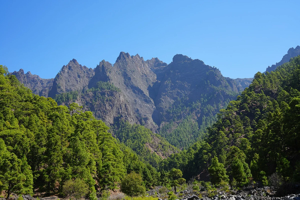
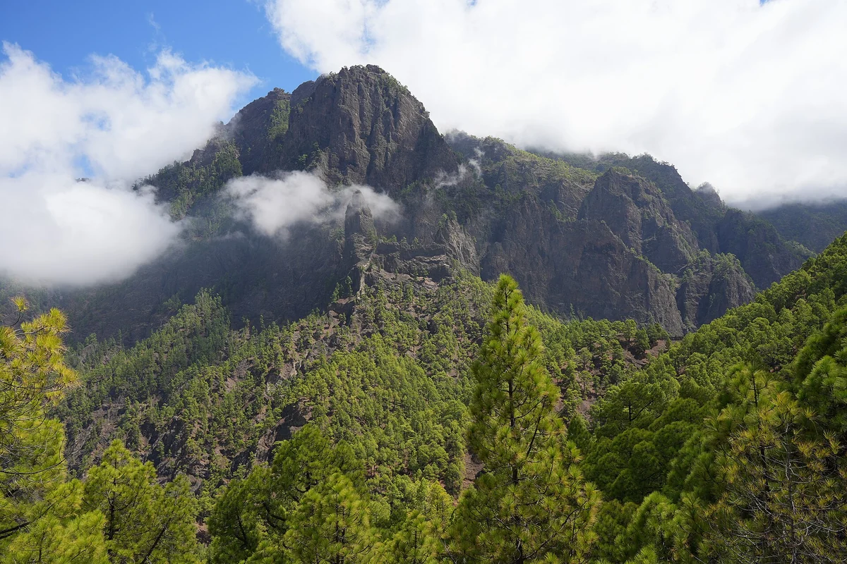
Caldera de Taburiente, Los Brecitos and the Barranco de las Angustias
Foto: Ingo Mehling · CC BY-SA 3.0 · Wikimedia Commons The Caldera de Taburiente is the great heart of the island: a national park of deep ravines, Canary pine, towering walls and trails that make no sense from behind the wheel. The classic route drops from Los Brecitos into the park and emerges via the Barranco de las Angustias, with the Cascada de Colores as a much-sought detour when conditions allow. It is a powerful outing, but it demands genuine preparation.
Tip: If you plan to walk the Caldera, check the state of the trails at the Visitor Centre first and allow a full day. Take boots, water and sun protection, and don't treat the Cascada de Colores as a fixed goal if the flow, the light or your timing don't add up.
-
3
Centre
La Cumbrecita, the Caldera without a long hike
Foto: Ingo Mehling · CC BY-SA 3.0 · Wikimedia Commons La Cumbrecita is the most direct way to look out over the Caldera de Taburiente without committing to a long crossing. From the viewpoint you can read the inner walls, the pine forest and the scale of the park with real clarity. There's also a short walk between miradores if you'd rather not give the whole day to Los Brecitos, or if you're travelling with less stamina in the group.
Tip: Access by private vehicle is regulated at the busiest times and may require a parking reservation. Check before you head up: the access road is not the place to discover you can't get through.
-
4
Summit · south
Ruta de los Volcanes, the Cumbre Vieja ridge on foot
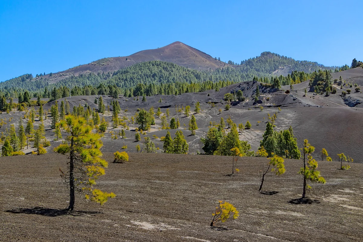
Foto: H. Zell · CC BY-SA 3.0 · Wikimedia Commons The Ruta de los Volcanes crosses one of the most expressive corners of La Palma: pine forest, lapilli, cinder cones, jagged crests and views to both flanks. This is no viewpoint stroll but a demanding walk along the island's southern ridge, traditionally between the Refugio del Pilar and Fuencaliente. If you do just one great hike on La Palma, this rivals the Caldera for top billing.
Tip: Don't slot it in as a mid-morning activity. It calls for proper mountain footwear, water, a cap, an eye on the wind and the transport logistics to avoid ending up exhausted far from the car.
- Rent a car to explore La Palma
-
5
South
San Antonio and Teneguía, the historic volcanoes of Fuencaliente
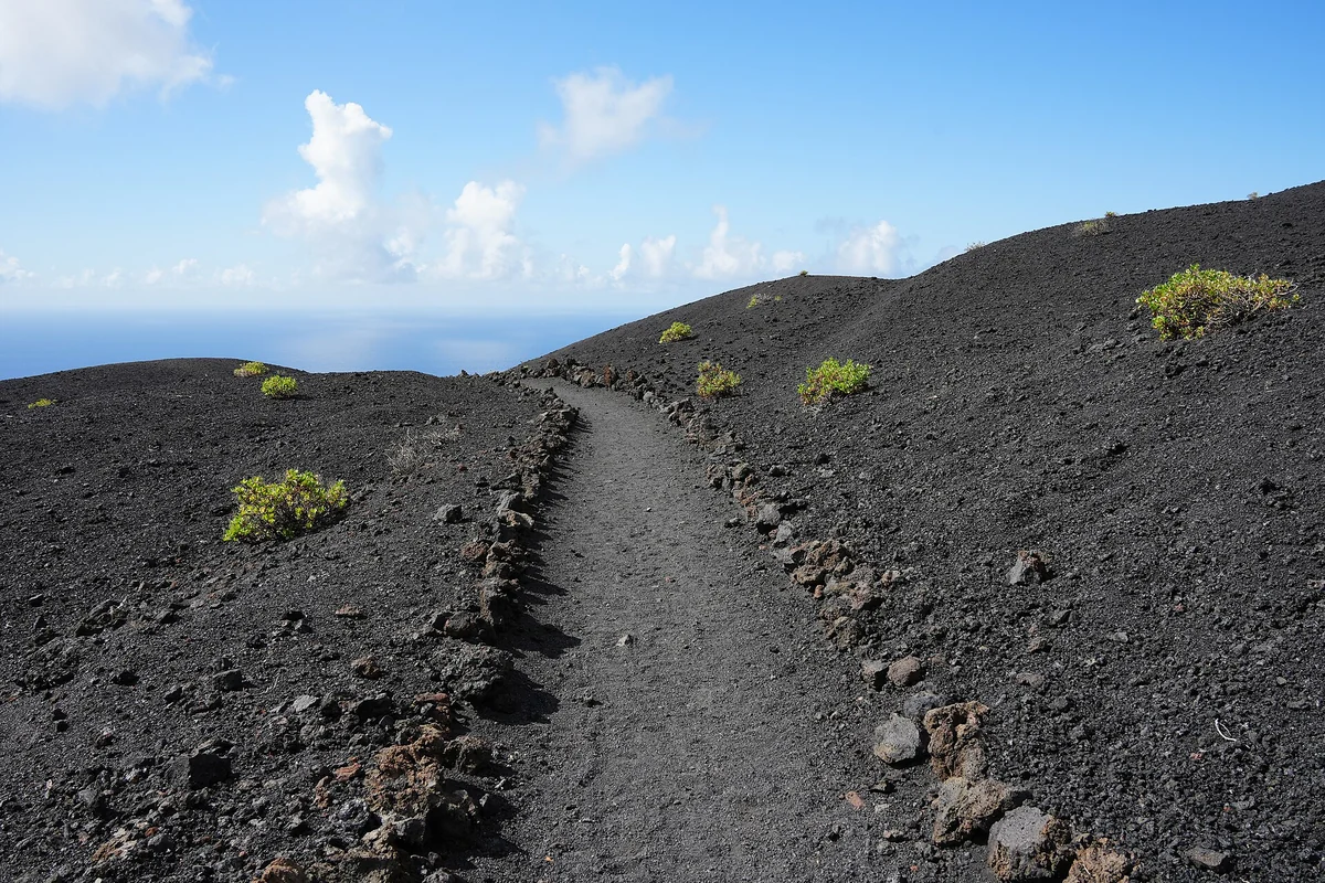
Foto: Ingo Mehling · CC BY-SA 4.0 · Wikimedia Commons Fuencaliente holds the south's most accessible volcanic memory. The area around San Antonio and Teneguía shows how the island kept growing in recent times, and why the landscape at its southern tip carries that contrast of black, ochre and vineyard. It's a wonderfully instructive visit if you want to see volcanoes without committing to a long trek along the full ridge.
Tip: Pair it with the Salinas and the lighthouses of Fuencaliente, not with the green north in the same block. On La Palma the map deceives: the volcanic south deserves its own pace.
-
6
South
Salinas de Fuencaliente, lighthouses and land's end
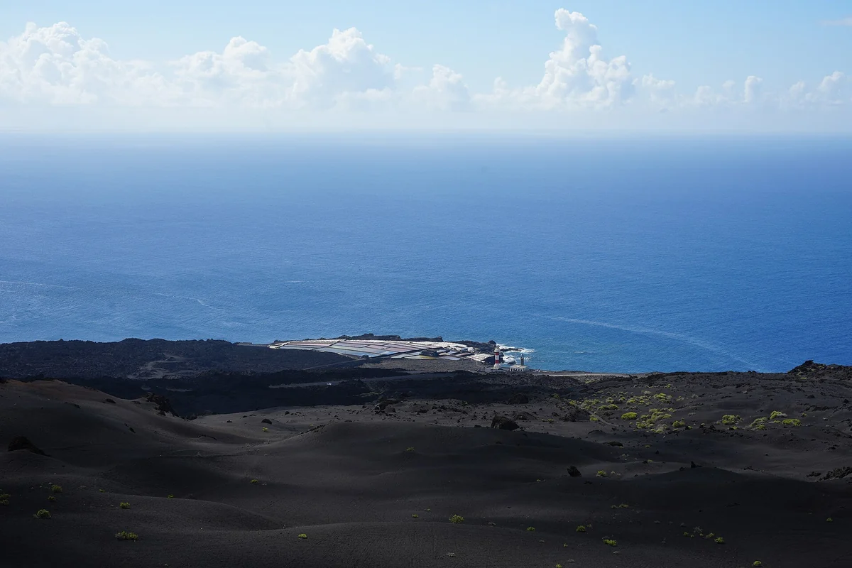
Foto: Ingo Mehling · CC BY-SA 4.0 · Wikimedia Commons The Salinas de Fuencaliente close the island to the south with an unmistakable blend: salt, lava, open sea and the lighthouses as a visual anchor. After the volcanoes, this stretch lowers the intensity without losing its character. It's one of those spots where La Palma turns graphic, almost abstract, yet remains a worked and living landscape.
Tip: Late-afternoon light tends to flatter the contrast between salt pans, volcanic rock and ocean. Keep off areas where walking isn't permitted and don't block access points: it's a fragile place and a working one too.
-
7
Centre · west
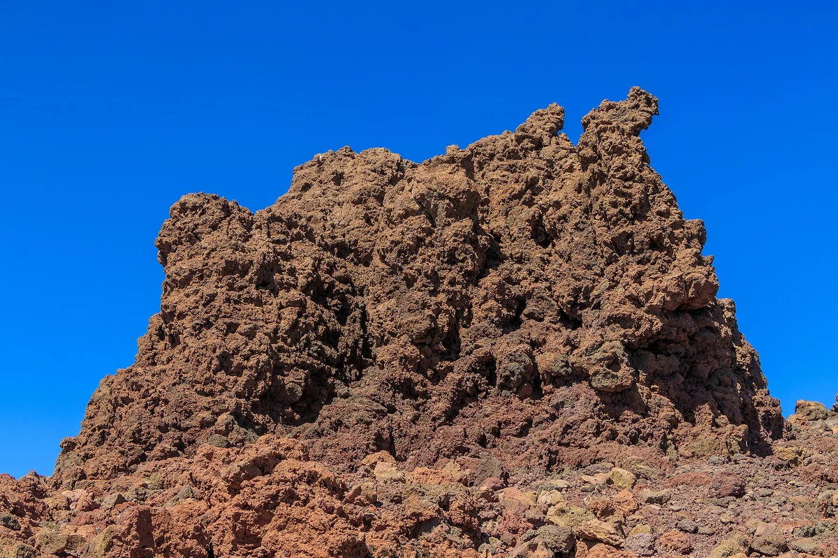
Tajogaite and the recent lava flows of Cumbre Vieja
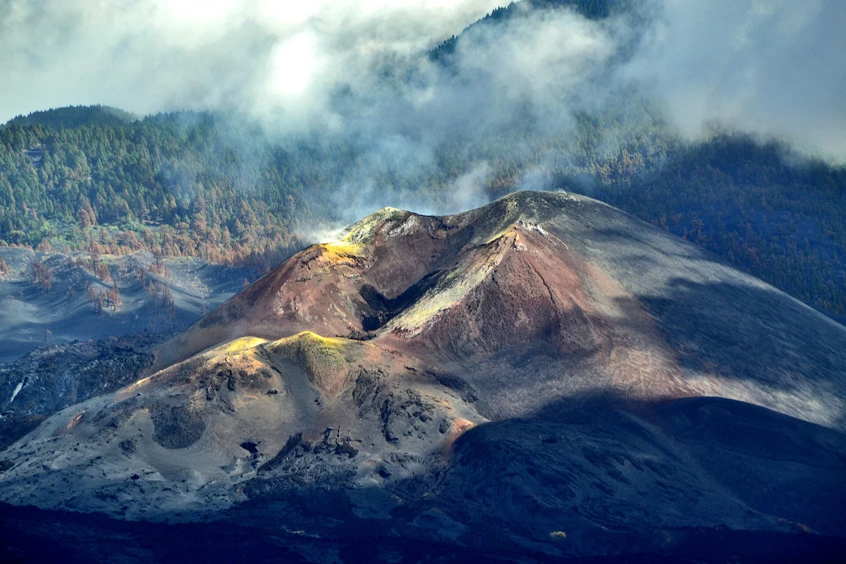
Foto: Rolfcosar · CC BY-SA 4.0 · Wikimedia Commons The landscape left by the 2021 eruption on Cumbre Vieja is an emotionally different visit from anything else on the island. The new cone, the lava flows and the fajanas are a reminder that La Palma is still under construction. The right way to approach it isn't to seek shortcuts or wander in freely, but to do so from safe viewpoints, approved trails or authorised operators.
Tip: The walk to the area around the new volcano must be done with authorised guides. Don't cross lava flows or fences for a photograph: there are hazards, private land and a raw, recent social wound that deserves respect.
-
8
North
Los Tilos, laurel forest and Biosphere Reserve
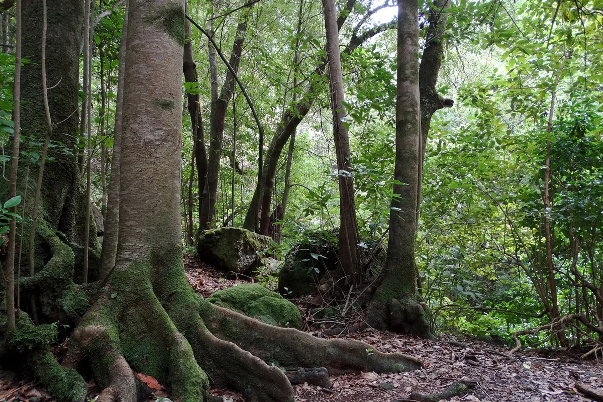
Foto: Fährtenleser · CC BY-SA 4.0 · Wikimedia Commons Los Tilos is La Palma's great cloud forest: laurisilva, moss, deep shade, the smell of earth and a drop in temperature that takes you by surprise if you've come up from the volcanic south. It was the core of the Biosphere Reserve declared by UNESCO in 1983, protection that since 2002 covers the whole island. It's an essential stop for understanding the green La Palma.
Tip: Check access and the state of the trails before you go, especially if you want the longer routes towards Marcos y Cordero. For a gentle visit, build the plan around the visitor centre and the forest's short trails.
-
9
North
Cubo de la Galga, a laurel-forest trail in Puntallana
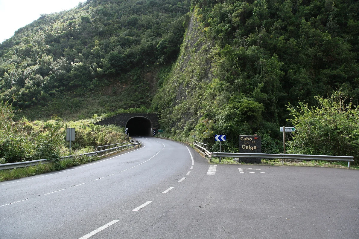
Foto: Frank Vincentz · CC BY-SA 3.0 · Wikimedia Commons Cubo de la Galga offers another way into the Palmero monteverde, more trail than viewpoint. The route works its way into a damp valley where the vegetation creates shadow, coolness and a feel quite unlike the open landscapes of the summit. It's ideal if you want to walk among laurel forest without committing to a day as long as some of the other northern routes.
Tip: Wear footwear with good grip: the damp can leave sections slippery. If it has rained or there's a weather warning, check the state of the trail before setting off.
-
10
North
San Andrés, the quiet village of the north-east
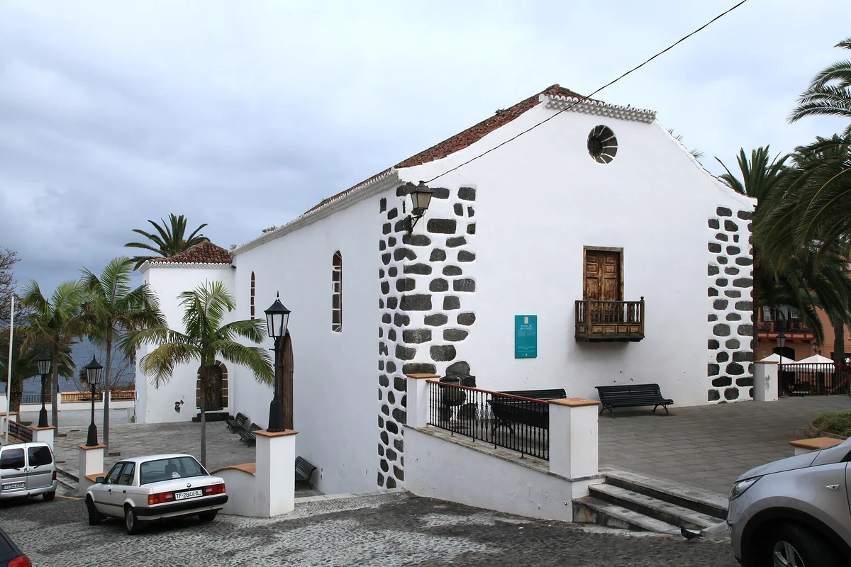
Foto: Frank Vincentz · CC BY-SA 3.0 · Wikimedia Commons San Andrés works as a human-scale pause between laurel forest and sea. Its cobbled streets, traditional houses and wooden balconies look out over a north that feels more intimate than touristy. The visit fits naturally before or after Charco Azul, sparing the area from being reduced to a quick dip.
Tip: Park considerately and walk. If you head to Charco Azul from the village, factor in the walk down and the climb back; don't treat them as two points side by side with no gradient between.
-
11
North
Charco Azul, a natural pool between San Andrés and Los Sauces
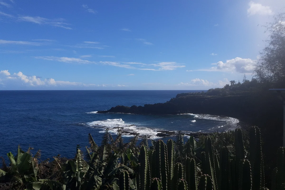
Foto: Gerda Arendt · CC0 · Wikimedia Commons Charco Azul is one of the best-known natural pools on La Palma and a thoroughly rewarding stop on a route through the north. The contrast of sea, volcanic rock and the nearby greenery sums up this part of the island well. It doesn't replace Los Tilos or Cubo de la Galga, but it rounds off the day with a sheltered swim when the sea allows.
Tip: Always respect the signage, the swell and the rules of the site. Even though it's an adapted natural pool, the Atlantic has the final say: if the sea is rough, enjoy the walk and swap the swim for a quiet stop.
-
12
North
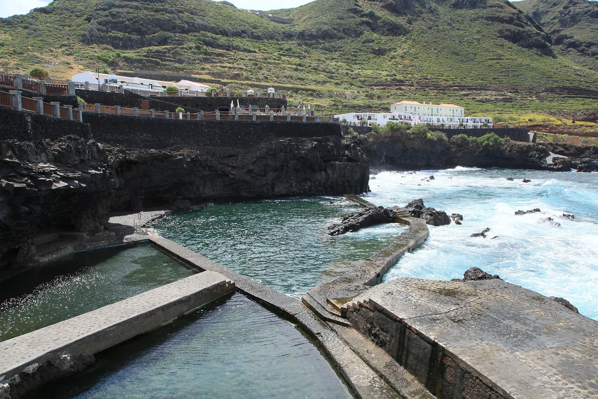
La Fajana, volcanic bathing in Barlovento
Foto: Frank Vincentz · CC BY-SA 3.0 · Wikimedia Commons La Fajana takes the northern route all the way to Barlovento, an area that is greener, more rural and less hurried. Its natural pools are sheltered from the swell and work beautifully for alternating trails, viewpoints and a swim. It's a particularly logical visit if you're giving the whole day to the north and don't want to stop at Los Tilos alone.
Tip: Don't squeeze it in straight after Fuencaliente: it's at the other end of the island. Check the sea and the wind, and if you're travelling with children, favour the most sheltered, supervised areas.
-
13
Capital
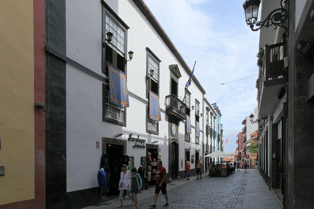
Santa Cruz de La Palma, Calle Real and balconies over the sea
Foto: Frank Vincentz · CC BY-SA 3.0 · Wikimedia Commons Santa Cruz de La Palma is a small capital, historic and very walkable. The Calle Real, the squares, the churches, the houses with their wooden balconies and the seafront all tell of the city's commercial, Atlantic past. It's best seen on foot, leaving time to wander in and out of the side streets, not just to photograph the balconies.
Tip: Park once or arrive by public transport and explore the old town on foot. If you come in on a cruise or are staying nearby, early morning and late afternoon are the easiest times for dodging the heat and the rush.
-
14
West
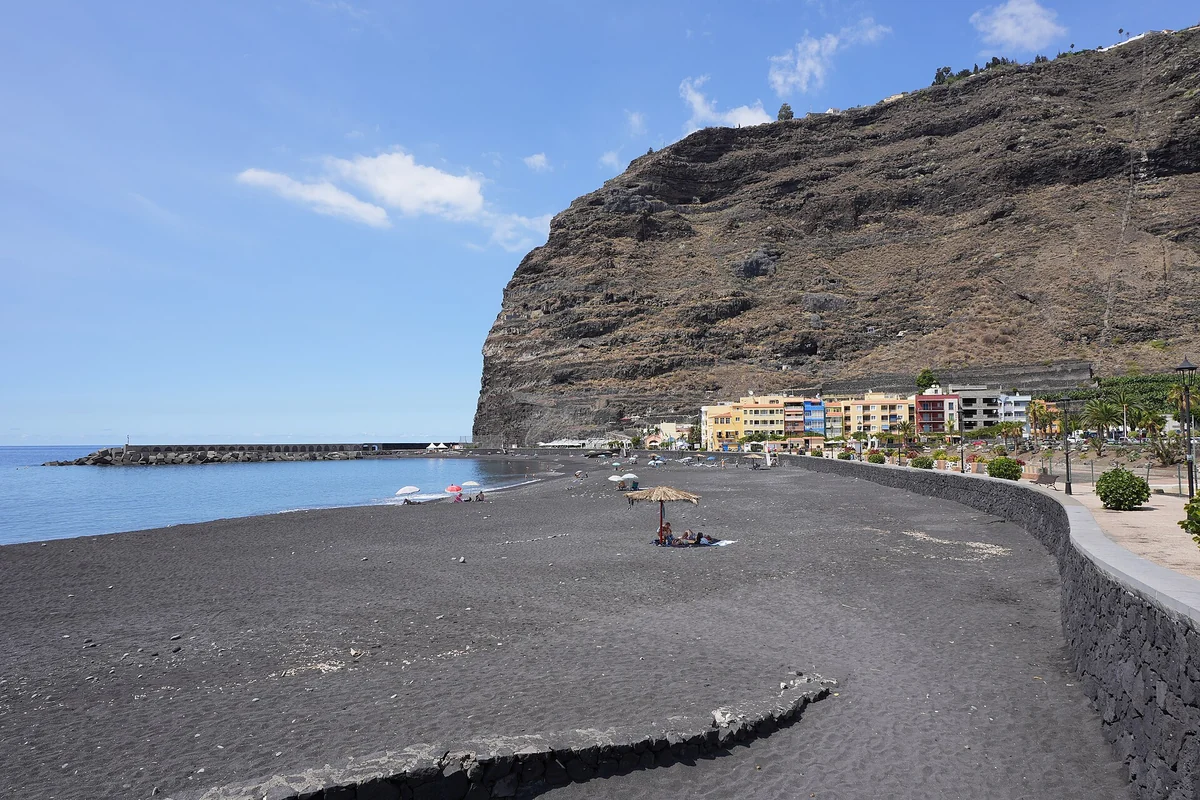
Tazacorte, black-sand beach and trips out to sea
Foto: Ingo Mehling · CC BY-SA 3.0 · Wikimedia Commons Tazacorte brings the sunny face of the west: banana plantations, a colourful old town, a harbour, a black-sand beach and boat trips to see the coast from the water. Since the 2021 eruption, it's also one of the places from which you best grasp how the new fajanas reshaped the island's profile.
Tip: It works very well to end a day at the Caldera or Tajogaite. If you book a boat, check the state of the sea and the cancellation policy; don't bank on whale sightings or fajana views as a sure thing.
Itinerary
La Palma in 2-3 days
- Morning: Roque de los Muchachos, the summit viewpoints and the exterior of the Observatory, booked in advance if you're doing an authorised daytime visit.
- Midday: the Caldera de Taburiente Visitor Centre and the La Cumbrecita viewpoint if you have a reservation for access or conditions allow a short visit.
- Afternoon: Tazacorte or Puerto de Tazacorte to finish on the west coast, with the option of looking out towards the recent fajanas from the sea if a trip is running.
If you tackle the long route from Los Brecitos, change this plan: the Caldera takes up practically the whole day and shouldn't be combined with Roque and a boat trip.
- Morning: the Ruta de los Volcanes if you have the fitness, the logistics and the time; if not, a shorter plan around San Antonio, Teneguía and the Fuencaliente area.
- Midday: the Salinas and lighthouse of Fuencaliente, easing the pace after the walk or the volcano stretch.
- Afternoon: the viewpoints of the Aridane valley or an authorised route around Tajogaite if you've booked one with a licensed operator.
Don't do Tajogaite on your own. In the recent volcanic landscape, safety matters as much as respect for residents, property and closed access points.
- Morning: the forest of Los Tilos or Cubo de la Galga, choosing a route by the state of the trail, your fitness and the weather.
- Midday: San Andrés and Charco Azul, or La Fajana if you'd rather push on to Barlovento and give the whole day to the north.
- Afternoon: Santa Cruz de La Palma, the Calle Real, the squares, the balconies and the seafront, without moving the car between nearby stops.
With only 2 days, prioritise one day for the summit/Caldera and another for the volcanic south. The green north is worth it if you can add the third day.
Activities
Things to do in La Palma
Beyond what to visit on your own, La Palma works very well with guided activities if you choose by area and don't double back on the roads. For Roque de los Muchachos, the Caldera, Fuencaliente and the green north in 2-3 days, a car removes a great deal of friction.
Guided stargazing
For experiencing La Palma's sky without improvising at night on summit roads. Favour Starlight guides or specialist companies, sensible group sizes and a back-up plan if the weather closes in: not every viewpoint serves equally, depending on the moon, cloud and wind.
Hiking the Caldera or the Ruta de los Volcanes
For those who come to La Palma for active nature and want to understand it on foot, not just from viewpoints. Pick one big route per day: the Caldera and the Ruta de los Volcanes don't add up as two light outings; they need water, boots, planning and exit logistics.
A road trip across summit, volcanoes and north
For seeing Roque de los Muchachos, La Cumbrecita, Fuencaliente, Los Tilos, La Fajana and Tazacorte in a few days without relying on slow connections. Book ahead in high season: La Palma is small on the map and slow on the road.
Boat trips from Tazacorte, kayaking or natural pools
For alternating hiking with the coast and seeing the island from the water, or for resting at Charco Azul and La Fajana. Decide by the state of the sea; on a boat don't promise cetaceans or specific views, and at natural pools respect the swell and the signage.
Loading tours & activities in La Palma…
FAQ
FAQs about what to see in La Palma
What is there to see on La Palma?
The essentials are to combine summit, Caldera, volcanoes, green north, capital and west: Roque de los Muchachos, the Astrophysical Observatory, the Caldera de Taburiente National Park, La Cumbrecita, the Ruta de los Volcanes, San Antonio and Teneguía, the Salinas de Fuencaliente, the Tajogaite area, Los Tilos, Cubo de la Galga, Santa Cruz de La Palma, Charco Azul, La Fajana and Tazacorte.
What is there to do on La Palma?
The best activities revolve around the sky, hiking and the volcanic landscape: guided stargazing, routes through the Caldera de Taburiente, the Ruta de los Volcanes, authorised excursions around Tajogaite, road trips between viewpoints and boat trips from Tazacorte.
Where to eat on La Palma?
Eating on La Palma makes sense by area: Santa Cruz if you're in the capital, Tazacorte for fish and the west coast, Los Llanos or El Paso if you're doing the Caldera or Tajogaite, and Fuencaliente if you head down to the volcanic south. It's worth choosing by the day's route so you don't cross the island just for lunch.
What is the volcano on La Palma called?
If you mean the 2021 eruption, it happened in the Cumbre Vieja area and the new volcanic edifice is generally known as Tajogaite. Official and scientific sources now refer to it as the eruption or volcano of Tajogaite. It shouldn't be confused with Teneguía, the 1971 volcano at Fuencaliente.
How many days do you need to see La Palma?
With 2 days you can do one summit/Caldera route and another through the volcanic south. With 3 days the green north and Santa Cruz de La Palma fit far better. With 4 or 5 days you can add longer trails, a boat trip from Tazacorte, more natural pools and a night devoted to astrotourism without any rush.
Is it worth hiring a car on La Palma?
Yes, if you want to see Roque de los Muchachos, La Cumbrecita, Fuencaliente, Los Tilos, La Fajana, Tazacorte and the viewpoints in 2-3 days. The island does have public transport, but many of the best routes link far-flung areas, steep gradients and timetables that are far easier to handle with a car.
Keep planning
More for your trip to La Palma
Other islands