Canarias.app travel guide · La Palma
Caldera de Taburiente (La Palma): national park, trails and viewpoints
Caldera de Taburiente is La Palma’s great national park: a vast erosion caldera opened by ravines, Canary pine forest, watercourses and volcanic walls. The classic visit links the Los Brecitos viewpoint, Barranco de las Angustias, Cascada de Colores and the surroundings of Roque Idafe. It needs proper preparation: general access is free, but some routes, transfers and areas require advance planning. If you want the island at its most mineral and vertical, this is essential alongside Roque de los Muchachos.
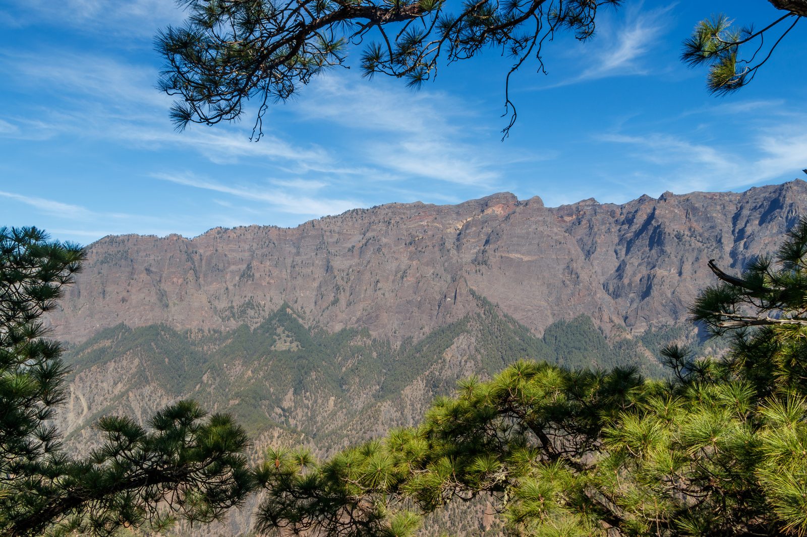
What Caldera de Taburiente Is
Caldera de Taburiente occupies the mountainous heart of La Palma and brings together much of the island’s natural identity: abrupt relief, Canary pine, lava walls, seasonal streams and deep ravines. It is not a simple crater, but a vast caldera shaped by erosion over thousands of years. Its scale is best understood on foot: from inside, the slopes seem to close around the landscape like a natural amphitheatre.
Trails and Key Stops
The best-known route starts at Los Brecitos and descends towards Barranco de las Angustias, with common detours to Cascada de Colores and views of Roque Idafe. This is a mountain walk, not an urban stroll: there is descent, loose stone and sections where the condition of the ravine determines what is safe. If you prefer a gentler introduction, you can focus on viewpoints and the El Paso visitor centre.
How to Plan the Visit
The main rule is not to improvise. Access to Los Brecitos is usually organised with an authorised 4x4 taxi, with the return on foot through Barranco de las Angustias, so check official conditions, weather and trail status before setting out. During rain or weather alerts, the ravines can change quickly. Take water, proper hiking shoes and enough time to walk without rushing.
Water, Geology and Landscape
The Caldera is not only a postcard of peaks: it is also a place to understand how water cuts through volcanic material. When it is flowing, Cascada de Colores shows the mineral tones that give it its name; the channels and ravine walls tell a story of constant erosion. Roque Idafe adds a symbolic and geological presence that dominates many stretches of the route.
What to Combine It With
If you are spending several days on La Palma, it makes sense to pair the Caldera with other highland landscapes. Roque de los Muchachos gives you the panoramic reading from the summit, while the Ruta de los Volcanes reveals the volcanic backbone of the south. Together, the three visits explain the island from within, from above and from its more recent origins.
FAQ
Questions about Caldera de Taburiente
Is Caldera de Taburiente free to visit?
General access to the national park is free, but you must follow the rules, use authorised trails and respect any restrictions. Some transfers, guided activities or services may require booking; always check up-to-date official information before planning your route.
What is the most typical route?
The best-known option enters via Los Brecitos and descends through Barranco de las Angustias, with a usual stop at Cascada de Colores. It is a mountain route and requires good planning.
Can you visit without doing a long hike?
Yes. You can go to the El Paso visitor centre and nearby viewpoints to understand the park without completing the full route. The experience is different, but it is still a strong introduction.
Do you need a permit to enter?
It depends on the area and the activity. For a basic visit, check trail status, access conditions and park regulations before going, especially after rain or weather alerts.
Is it suitable for children?
It can be, if you choose a short, safe plan. The long ravine route is not ideal for small children or for anyone unused to mountain walking.
Make the most of your visit
Tickets, tours and activities
There are excursions, guided tours and activities in La Palma to round off your visit to Caldera de Taburiente.
See tours and activitiesKeep exploring
More to see in La Palma
Tours and activities in La Palma
Loading tours…