Canarias.app travel guide · Gran Canaria
Risco Caído, Gran Canaria: sacred landscape, caves and UNESCO heritage
Risco Caído and the Sacred Mountains of Gran Canaria form a cultural landscape recognised as a UNESCO World Heritage Site. High in the island’s interior, between Artenara and Barranco Hondo, the area brings together caves, granaries, almogarenes and a light-based astronomical marker linked to the ancient Canarians. The wider mountain landscape can be explored freely, although access to the main archaeological site is usually regulated.
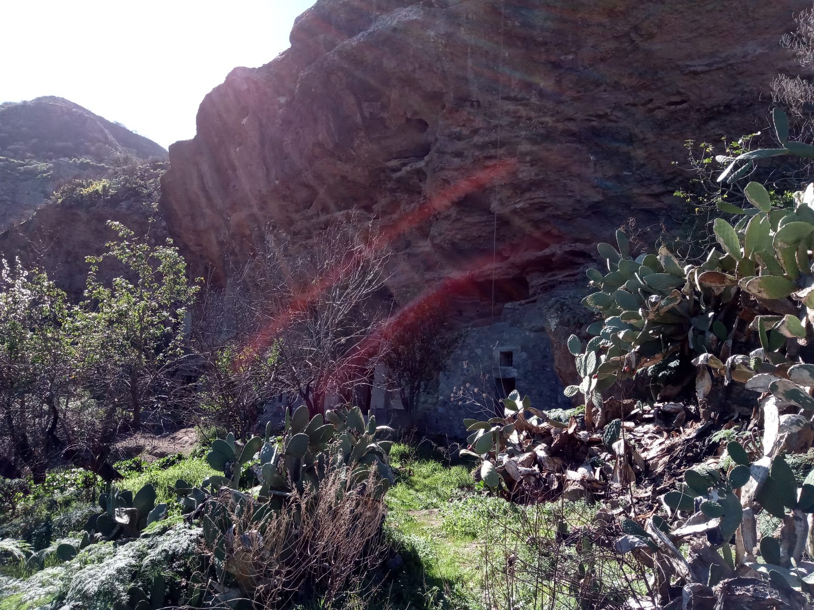
A Cultural Landscape in the Highlands
Risco Caído should not be understood as a single monument, but as part of a system of mountains, ravines, caves and sacred places that helps explain the relationship between the ancient Canarians and the highlands of Gran Canaria. The scale is territorial: the archaeology matters, but so does the landscape around it.
Caves, Granaries and Almogarenes
The ensemble includes excavated caves, granaries and almogarenes associated with ceremonial and storage uses. This architecture carved into the rock shows a highly precise adaptation to the territory, where the terrain was not an obstacle but part of how people lived, stored food and held rituals. A visit requires absolute respect: do not touch, alter anything or leave the permitted areas.
The Astronomical Light Marker
One of the best-known elements of Risco Caído is a cave where the entry of sunlight creates an effect interpreted as an astronomical marker. This dialogue between architecture, sun and calendar is central to understanding the site’s importance. It is not a superficial curiosity; it speaks of sky observation, agricultural time and ritual meaning.
Interpretation Centre and Regulated Access
The interpretation centre helps visitors understand the wider ensemble before entering the mountain landscape. Access to the main archaeological site may be restricted or arranged through guided visits for conservation reasons and visitor-capacity control. It is therefore worth separating two plans: discovering the highland setting, and, if possible, arranging a specific visit to the archaeological enclave.
How to Include It in a Route
Risco Caído makes particular sense alongside Artenara and Roque Bentayga. Together, the three places offer a powerful reading of the highlands: cave village, sacred landscape, volcanic crags, ravines and pre-Hispanic memory. Allow time for the roads, viewpoints and changes in weather.
FAQ
Questions about Risco Caído, Gran Canaria
What is Risco Caído?
It is an archaeological and landscape ensemble in the highlands of Gran Canaria, linked to the ancient Canarians and recognised by UNESCO as part of the Sacred Mountains cultural landscape.
Why is Risco Caído a World Heritage Site?
Because of its value as a cultural landscape, with caves, ritual spaces, granaries and a distinctive relationship between mountains, astronomy, settlement and Indigenous Canarian culture.
Can you enter the main archaeological site?
Access to the main site is usually regulated or guided for conservation reasons. It is advisable to check the official management arrangements before travelling with that specific visit in mind.
Is Risco Caído free?
The wider mountain setting can be enjoyed freely, but a specific visit to the archaeological site or interpretation centre may depend on management rules and availability. It is not a place to improvise if you want to enter the main enclave.
What does it combine best with?
It combines especially well with [Artenara](https://canarias.app/artenara/) and [Roque Bentayga](https://canarias.app/roque-bentayga/), as part of a cultural highlands route through Gran Canaria.
Make the most of your visit
Tickets, tours and activities
There are excursions, guided tours and activities in Gran Canaria to round off your visit to Risco Caído.
See tours and activitiesKeep exploring
More to see in Gran Canaria
Tours and activities in Gran Canaria
Loading tours…