Canarias.app travel guide · Gran Canaria
Presa de Las Niñas (Gran Canaria): route, camping and how to get there
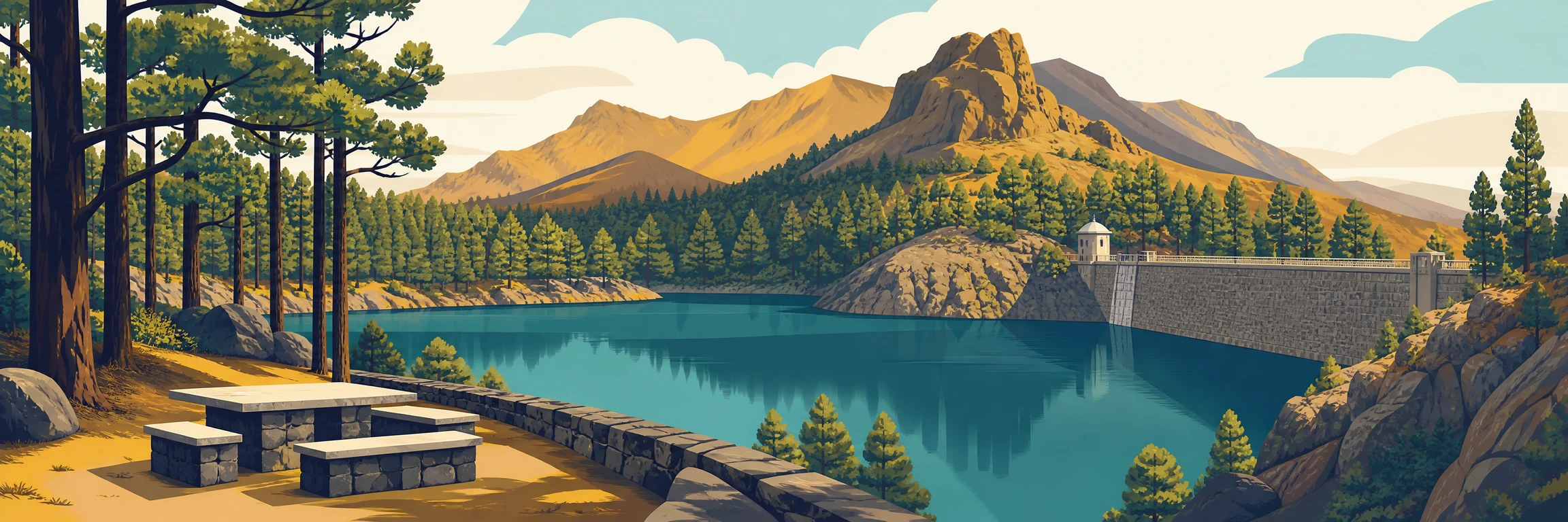
Presa de Las Niñas is a highland reservoir in Tejeda, surrounded by Canary pine forest and widely used for walks, picnics and overnight stays in the camping area with Cabildo permit. This is a nature visit, not a beach: the water level changes considerably and the reservoir should be treated with caution.
What it is and why visit
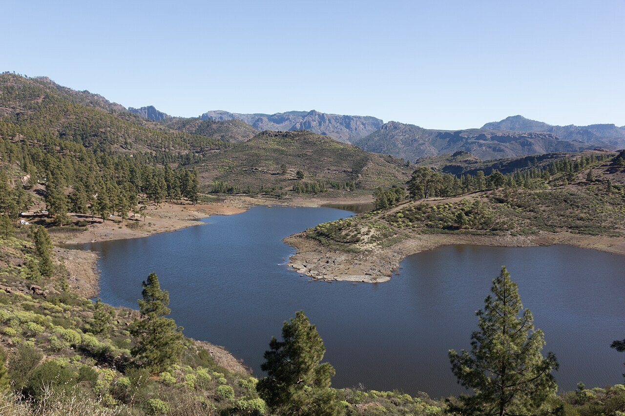
Presa de Las Niñas, also referred to as Presa de la Cueva de Las Niñas or Majada Alta, is one of the best-known water landscapes in the south-western highlands of Gran Canaria. It lies in the municipality of Tejeda, at the head of the Majada Alta ravine, within the surroundings of the Parque Rural del Nublo. The draw is not only the dam wall, but the whole setting: Canary pine forest, changing shores, inland silence and a high-island feeling that contrasts sharply with the tourist coast. It is a rewarding stop for anyone wanting to see a slower, more mountainous Gran Canaria. The reservoir depends on rainfall, so it never looks exactly the same: in some years it is low, in others it recovers a striking presence. Go with flexible expectations. The visit works because of the landscape, the walk and the atmosphere, not because a sheet of water is guaranteed.
The route and surroundings
The most common walk is an easy circular route around the reservoir area, with variants of around four kilometres depending on the starting point and the line you choose. It is not an alpine hike, but it is natural terrain: earth, pine needles, loose stones and stretches that may change after rain. Treat it as a slow loop for looking at the shore, stepping into the pine forest and understanding how water has shaped this part of the island. The area combines well with a reservoir route through the interior, with Chira and Soria as neighbours in the south-west’s large hydraulic system. Chira and Soria impress by scale, while Las Niñas has a gentler, more recreational tone. On damp days, the scent of pine and the light between the branches justify the visit even when the reservoir is not full. Start calmly and do not approach unstable banks.
Camping and picnic: rules and permit
The Las Niñas area has a recreational zone and camping area linked to the island’s public-use network, but it is not a place to improvise. To camp, you must request authorisation from the Cabildo de Gran Canaria through the official booking channels; check availability, current conditions, capacity and possible closures before loading a tent or equipment. The same applies to barbecues, stoves and use of the recreational area: permissions may depend on season, fire risk, works, maintenance or weather alerts. For a daytime picnic, the practical rule is simple: bring water, take all rubbish away, do not light fires outside authorised areas and respect timetables or staff instructions. However inviting it may feel, this is not open private land or an inland beach. Sleeping there without permission can cause problems and, above all, damages a place under heavy pressure on weekends, holidays and good-weather periods. Always check your reservation on the day itself.
How to get there
The easiest way to reach Presa de Las Niñas is by car. From the south and Mogán, the road climbs inland through bends and wide views; from the highlands, it can be linked with Tejeda, Ayacata and other points in the Parque Rural del Nublo. The most useful road reference is the GC-605, which connects the reservoir area with the island’s interior and calls for unhurried driving. Do not treat it as a quick detour from the beach: kilometre distances are misleading because the road is mountainous. Public transport is rarely practical for a flexible visit, especially if you want to walk, picnic or combine several reservoirs. If you are travelling with children or people sensitive to bends, allow extra time, avoid the hottest hours and do not leave the return until after dark if you do not know the roads well. Bring a charged phone and a downloaded route.
Tips for the visit
Wear comfortable shoes, bring water and pack a light layer, even if you are starting from a warm coastal area. The highlands change quickly: wind can arrive, temperatures can drop and mist can appear within minutes. Do not treat the reservoir as a swimming area; if there is no clear sign authorising bathing, the prudent choice is not to enter the water. The banks may have mud, uneven drops, plant debris and sudden changes in depth. For photographs, morning and late-afternoon light work better than midday, when the pine forest flattens the shadows. If the reservoir is very full, respect barriers and closed areas: the 2026 rise in water levels was a reminder that these places are active hydraulic infrastructures, not scenery. For a fuller route, combine Las Niñas with Chira, Soria or a later stop in Tejeda, always allowing for real road times. Do not leave rubbish, even organic waste, and do not park outside permitted areas.
FAQ
Questions about Presa de Las Niñas
Why is it called Presa de Las Niñas?
The name comes from the place name Cueva de Las Niñas and from the popular name of the area, also known as Majada Alta. There is no single documented explanation. Local stories also circulate around the Pino de Casandra and the oral traditions of the highlands.
What is Presa de Las Niñas like at the moment?
Its condition changes greatly depending on rainfall. In dry years it can look low or almost empty; after the rains of 2026 it filled again very noticeably. Before going, check recent news, Cabildo notices and road conditions if there has been bad weather.
What was filmed at Presa de Las Niñas?
The recent reference was not House of the Dragon, but a shoot from the Game of Thrones universe linked to A Knight of the Seven Kingdoms. In 2026, the reservoir’s rise after heavy rain affected sets and forced the planned production in the area to be reconsidered.
Which municipality is Presa de Las Niñas in?
Presa de Las Niñas is in the municipality of Tejeda, although by road it is closely associated with the south-west of the island and the route towards Mogán. That position explains the confusion: in landscape terms it looks towards the Arguineguín basin, but administratively it belongs to Tejeda.
Can you camp at Presa de Las Niñas?
Yes, but only in the designated area and with prior authorisation from the Cabildo de Gran Canaria. Do not go without a booking or assume it is always open: capacity, works, fire risk, weather or maintenance can change the conditions of use at any time.
Make the most of your visit
Tickets, tours and activities
There are excursions, guided tours and activities in Gran Canaria to round off your visit to Presa de Las Niñas.
See tours and activitiesKeep exploring
More to see in Gran Canaria
Tours and activities in Gran Canaria
Loading tours…