Canarias.app travel guide · Gran Canaria
Caldera de Bandama (Gran Canaria): route, Pico viewpoint and how to get there
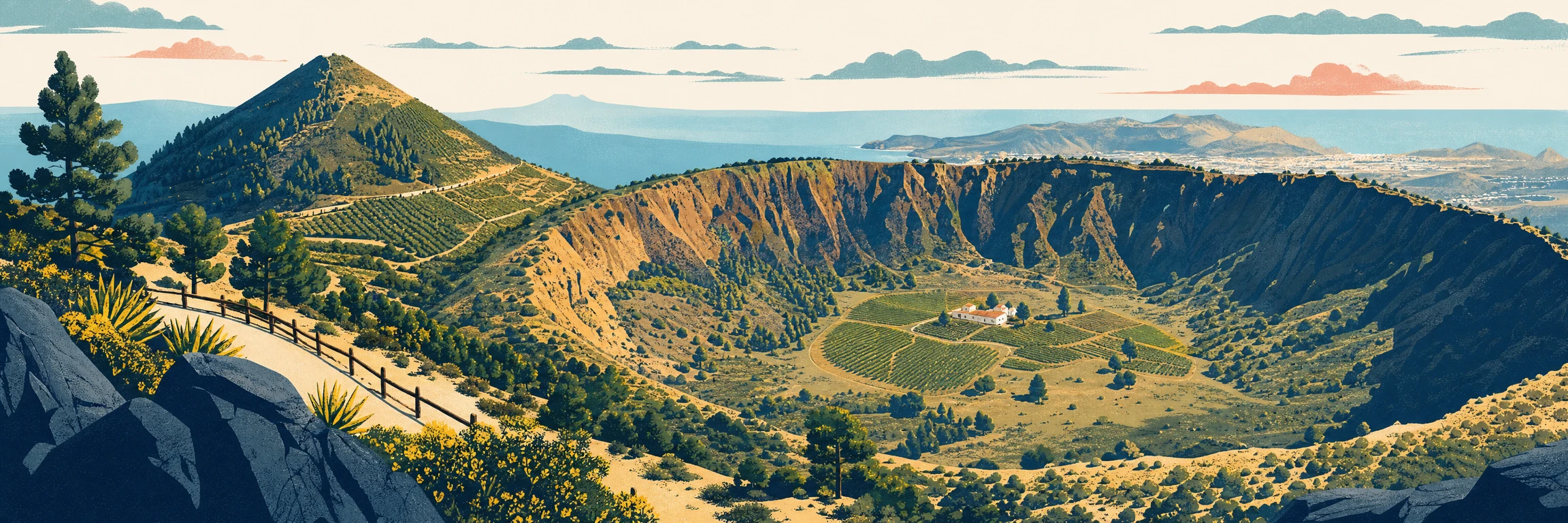
The Caldera de Bandama is a large volcanic depression set between Santa Brígida and Las Palmas de Gran Canaria. A visit lets you see the crater from the Pico de Bandama and, if you want to walk, descend by trail towards the floor of the caldera. It is free to visit and one of the easiest ways to understand Gran Canaria’s volcanic landscape without travelling far from the capital area.
What it is and why visit
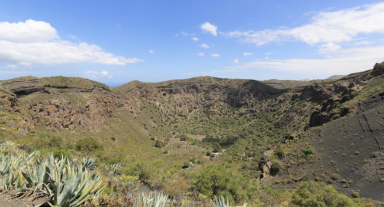
The Caldera de Bandama is one of Gran Canaria’s clearest volcanic landscapes: a vast natural bowl framed by slopes, vineyards and scattered neighbourhoods in the island’s north-east. From the Pico de Bandama, you get a full reading of the crater and its relationship with the city, the coast and the mid-altitude countryside. The visit works equally well as a panoramic stop or as a slower walk down into the caldera. Its appeal lies in that blend of visible geology, agricultural landscape and urban proximity.
How to get there
Access is by road from the Tafira, Monte Lentiscal or Santa Brígida area, following signs for Bandama and its peak. This is mid-altitude terrain, with narrow stretches of road in places and local traffic, so it is best to drive without rushing. For an easy visit, go up to the Pico de Bandama viewpoint and take in the caldera from above. If you plan to walk, locate the trailhead beforehand and make sure you have suitable footwear for volcanic ground.
Tips for visiting
The viewpoint can be visited in comfortable clothing, but the descent to the floor calls for more planning: grippy shoes, water and an honest assessment of the return, which is uphill. On hot days, avoid the middle of the day because continuous shade is limited inside the caldera. If there is haze, it can still be worth going up to the peak, as the view may open up in moments. Keep to the paths and respect the surrounding farms; this is a natural landscape, but also a lived-in one.
The walk
Despejado
Live weather on the crater rim. The floor is sheltered from the wind but traps the heat: in summer, go down first thing.
Indicative route based on official mapping and the main waypoints; it is not a substitute for a GPS track or on-site waymarking.
Crater rim
The path drops from the rim, beside the Pico de Bandama, along a clear dirt track that gradually leans out over the inside of the crater.
Zigzag descent
The trail zigzags down the slope, with lava walls and vegetation hanging above the crater floor.
Crater floor
You reach the floor, a fertile bowl almost 200 m deep with an old farmstead and caves: the only inhabited crater on Gran Canaria.
Back to the rim
You return the same way; the climb back is the toughest part, best taken slowly and with water at hand.
Approximate distances for the descent to the floor (there and back). For more, you can add the full loop around the crater rim, about 7.5 km.
FAQ
Questions about Caldera de Bandama
Is the Caldera de Bandama free?
Yes. Access to the viewpoint and the caldera surroundings is free. There is no general admission fee to see it from the Pico de Bandama.
Can you walk down to the floor of the caldera?
Yes. There is a trail that descends into the interior. The walk requires suitable footwear, and you need to remember that the return is uphill.
Where is the Caldera de Bandama?
It is in the north-east of Gran Canaria, between Santa Brígida and Las Palmas de Gran Canaria. Access is from the Tafira and Monte Lentiscal area.
Is the viewpoint or the walking route better?
If you want a short visit, the Pico de Bandama viewpoint is enough. If you want to experience the volcanic landscape more slowly, the route down to the floor gives another perspective on the place.
When was Bandama’s last eruption?
Published dating places Bandama’s last eruptive activity at around 2,000 years ago, often cited at roughly 1,970 years. That is why it is described as one of Gran Canaria’s most recent volcanic episodes, although it should be understood as a geological estimate.
What can you see near the caldera?
Nearby options include the Jardín Botánico Canario Viera y Clavijo, the vineyards and wineries of Monte Lentiscal and a stop in Santa Brígida. For a short visit, combine Pico de Bandama with the Jardín Canario; with half a day, add the old centre and local wines.
How long does the walk down to the floor take?
The descent to the floor is not long, but the return is uphill and over volcanic terrain. Allow between an hour and a half and two hours to go down, look around calmly and return, more if you stop often. Take grippy footwear and water.
Make the most of your visit
Tickets, tours and activities
There are excursions, guided tours and activities in Gran Canaria to round off your visit to Caldera de Bandama.
See tours and activitiesKeep exploring
More to see in Gran Canaria
Tours and activities in Gran Canaria
Loading tours…